|
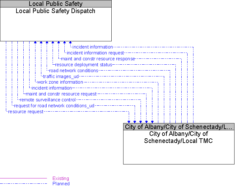
Architecture Flow Definitionsincident information
(Planned)
Notification of existence of incident and expected severity, location, time and nature of incident.
incident information request
(Planned)
Request for incident information, clearing time, severity. The request can be a subscription that initiates as-needed information updates as well as a one-time request for information.
maint and constr resource request
(Planned)
Request for road maintenance and construction resources that can be used in the diversion of traffic (cones, portable signs), clearance of a road hazard, repair of ancillary damage, or any other incident response.
maint and constr resource response
(Planned)
Current status of maintenance and construction resources including availability and deployment status.
remote surveillance control
(Planned)
The control commands used to remotely operate another center's sensors or surveillance equipment so that roadside surveillance assets can be shared by more than one agency.
request for road network conditions_ud
(Planned)
resource deployment status
(Planned)
Status of traffic management center resource deployment identifying the resources available and their current deployment status.
resource request
(Planned)
A request for traffic management resources to implement special traffic control measures, assist in clean up, verify an incident, etc.
road network conditions
(Planned)
Current and forecasted traffic information, road and weather conditions, incident information, and other road network status. Either raw data, processed data, or some combination of both may be provided by this architecture flow.
traffic images_ud
(Planned)
High fidelity, real-time traffic images suitable for surveillance monitoring by the operator or for use in machine vision applications. This flow includes the images and the operational status of the surveillance system.
work zone information
(Planned)
Summary of maintenance and construction work zone activities affecting the road network including the nature of the maintenance or construction activity, location, impact to the roadway, expected time(s) and duration of impact, anticipated delays, alternate routes, and suggested speed limits. This information may be augmented with images that provide a visual indication of current work zone status and traffic impacts.
|