

|

|

|

|

|

|

|

|

|

|
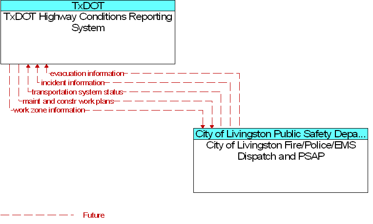
Interface: City of Livingston Fire/Police/EMS Dispatch and PSAP To TxDOT Highway Conditions Reporting System |
 |
Architecture Flow Definitions
evacuation information
(Future)
![]()
Evacuation instructions and information including evacuation zones, evacuation times, and reentry times.
incident information
(Future)
![]()
Notification of existence of incident and expected severity, location, time and nature of incident. As additional information is gathered and the incident evolves, updated incident information is provided. Incidents include any event that impacts transportation system operation ranging from routine incidents (e.g., disabled vehicle at the side of the road) through large-scale natural or human-caused disasters that involve loss of life, injuries, extensive property damage, and multi-jurisdictional response.
maint and constr work plans
(Future)
![]()
Future construction and maintenance work schedules and activities including anticipated closures with anticipated impact to the roadway, alternate routes, anticipated delays, closure times, and durations.
transportation system status
(Future)
![]()
Current status and condition of transportation infrastructure (e.g., tunnels, bridges, interchanges, TMC offices, maintenance facilities). In case of disaster or major incident, this flow provides an assessment of damage sustained by the surface transportation system including location and extent of the damage, estimate of remaining capacity and necessary restrictions, and time frame for repair and recovery.
work zone information
(Future)
![]()
Summary of maintenance and construction work zone activities affecting the road network including the nature of the maintenance or construction activity, location, impact to the roadway, expected time(s) and duration of impact, anticipated delays, alternate routes, and suggested speed limits. This information may be augmented with images that provide a visual indication of current work zone status and traffic impacts.
 Web Spinner Technology.