

|

|

|

|

|

|

|

|

|

|
![]()

|
 |
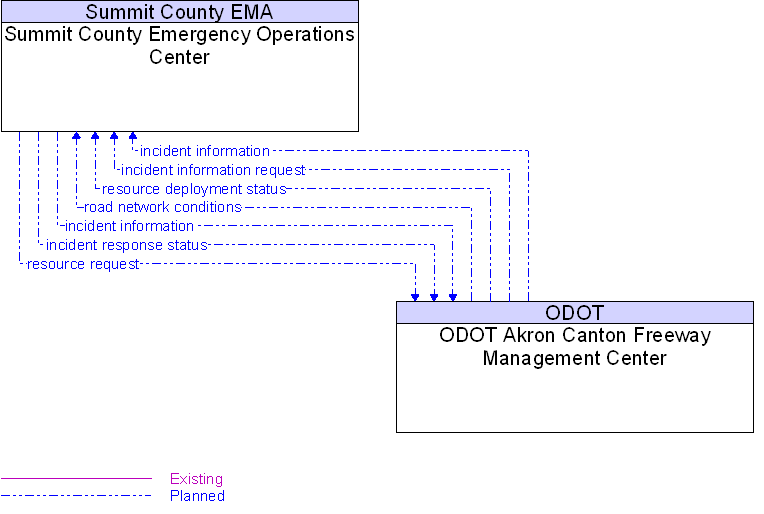
Interface: ODOT Akron Canton Freeway Management Center To Summit County Emergency Operations Center |
Architecture Flow Definitions
incident information
(Planned)
![]()
Notification of existence of incident and expected severity, location, time and nature of incident.
incident information request
(Planned)
![]()
Request for incident information, clearing time, severity. The request can be a subscription that initiates as-needed information updates as well as a one-time request for information.
incident response status
(Planned)
![]()
Status of the current incident response including traffic management strategies implemented at the site (e.g., closures, diversions, traffic signal control overrides).
resource deployment status
(Planned)
![]()
Status of traffic management center resource deployment identifying the resources available and their current deployment status.
resource request
(Planned)
![]()
A request for traffic management resources to implement special traffic control measures, assist in clean up, verify an incident, etc.
road network conditions
(Planned)
![]()
Current and forecasted traffic information, road and weather conditions, incident information, and other road network status. Either raw data, processed data, or some combination of both may be provided by this architecture flow.
 Web Spinner Technology.