Mohawk Valley Regional ITS Architecture
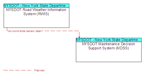
Interface: NYSDOT Road Weather Information System (RWIS) and NYSDOT Maintenance Decision Support System (MDSS)
(E) = Existing Flow
(P) = Planned/Future Flow
(E/P) = Existing and Planned Flow - Flow appears as Existing and Planned
Send Your Comments
Source
Architecture Flows
Destination
NYSDOT Road Weather Information System (RWIS)
environmental sensor data (P)
NYSDOT Maintenance Decision Support System (MDSS)
NYSDOT Maintenance Decision Support System (MDSS)
NYSDOT Road Weather Information System (RWIS)
Last updated: 09-18-10