

|

|

|

|

|

|

|

|

|

|
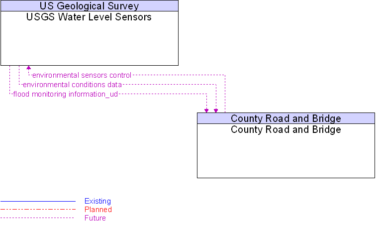
Interface: County Road and Bridge To USGS Water Level Sensors |
 |
Architecture Flow Definitions
environmental conditions data
(Future)
![]()
Current road conditions (e.g., surface temperature, subsurface temperature, moisture, icing, treatment status) and surface weather conditions (e.g., air temperature, wind speed, precipitation, visibility) as measured and reported by environmental sensors.
environmental sensors control
(Future)
![]()
Data used to configure and control environmental sensors.
flood monitoring information_ud
(Future)
![]()
Information from flood monitoring sensors indicating the presence of flooding.
 Web Spinner Technology.