

|

|

|

|

|

|

|

|

|

|
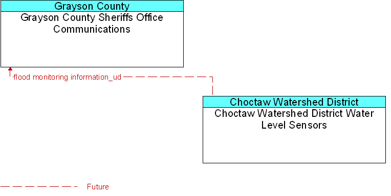
Interface: Choctaw Watershed District Water Level Sensors To Grayson County Sheriffs Office Communications |
 |
Architecture Flow Definitions
flood monitoring information_ud
(Future)
![]()
Information from flood monitoring sensors indicating the presence of flooding.
 Web Spinner Technology.