Mohawk Valley Regional ITS Architecture
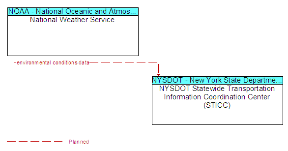
Interface: National Weather Service and NYSDOT Statewide Transportation Information Coordination Center (STICC)
(E) = Existing Flow
(P) = Planned/Future Flow
(E/P) = Existing and Planned Flow - Flow appears as Existing and Planned
Send Your Comments
Source
Architecture Flows
Destination
National Weather Service
environmental conditions data (P)
NYSDOT Statewide Transportation Information Coordination Center (STICC)
NYSDOT Statewide Transportation Information Coordination Center (STICC)
National Weather Service
Last updated: 09-18-10