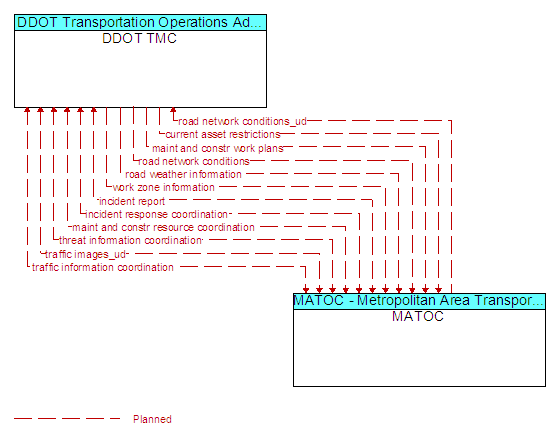
Interface: DDOT TMC - MATOC
Architecture Flow Definitions
current asset restrictions (Planned) Applicable ITS Standards
Restrictions levied on transportation asset usage based on infrastructure design, surveys, tests, or analyses. This includes standard facility design height, width, and weight restrictions, special restrictions such as spring weight restrictions, and temporary facility restrictions that are imposed during maintenance and construction.
incident report (Planned) Applicable ITS Standards
Report of an identified incident including incident location, type, severity and other information necessary to initiate an appropriate incident response.
incident response coordination (Planned) Applicable ITS Standards
Incident response procedures and current incident response status that are shared between allied response agencies to support a coordinated response to incidents. This flow provides current situation information, including a summary of incident status and its impact on the transportation system and other infrastructure, and current and planned response activities. This flow also coordinates a positive hand off of responsibility for all or part of an incident response between agencies.
maint and constr resource coordination (Planned) Applicable ITS Standards
Request for road maintenance and construction resources that can be used in the diversion of traffic (cones, portable signs), clearance of a road hazard, repair of ancillary damage, or any other incident response.
maint and constr work plans (Planned) Applicable ITS Standards
Future construction and maintenance work schedules and activities including anticipated closures with anticipated impact to the roadway, alternate routes, anticipated delays, closure times, and durations.
road network conditions (Planned) Applicable ITS Standards
Current and forecasted traffic information, road and weather conditions, and other road network status. Either raw data, processed data, or some combination of both may be provided by this architecture flow. Information on diversions and alternate routes, closures, and special traffic restrictions (lane/shoulder use, weight restrictions, width restrictions, HOV requirements) in effect is included along with a definition of the links, nodes, and routes that make up the road network.
road network conditions_ud (Planned)
Current and forecasted traffic information, road and weather conditions, incident information, and other road network status. Either raw data, processed data, or some combination of both may be provided by this architecture flow.
road weather information (Planned) Applicable ITS Standards
Road conditions and weather information that are made available by road maintenance operations to other transportation system operators.
threat information coordination (Planned) Applicable ITS Standards
Sensor, surveillance, and threat data including raw and processed data that is collected by sensor and surveillance equipment located in secure areas.
traffic images_ud (Planned)
High fidelity, real-time traffic images suitable for surveillance monitoring by the operator or for use in machine vision applications. This flow includes the images and the operational status of the surveillance system.
traffic information coordination (Planned) Applicable ITS Standards
Traffic information exchanged between TMC’s. Normally would include incidents, congestion data, traffic data, signal timing plans, and real-time signal control information.
work zone information (Planned) Applicable ITS Standards
Summary of maintenance and construction work zone activities affecting the road network including the nature of the maintenance or construction activity, location, impact to the roadway, expected time(s) and duration of impact, anticipated delays, alternate routes, and suggested speed limits. This information may be augmented with images that provide a visual indication of current work zone status and traffic impacts.