

|

|

|

|

|

|

|

|

|
![]()

|
 |
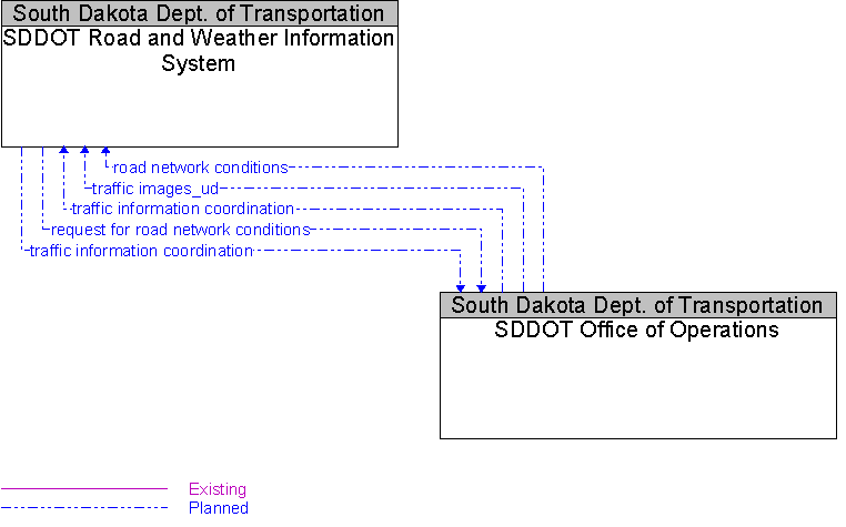
Interface: SDDOT Office of Operations To SDDOT Road and Weather Information System |
Architecture Flow Definitions
request for road network conditions
(Planned)
![]()
Request for traffic information, road conditions, surface weather conditions, incident information, and other road network status. The request specifies the region/route of interest, the desired effective time period, and other parameters that allow preparation of a tailored response. The request can be a subscription that initiates as-needed information updates as well as a one-time request for information.
road network conditions
(Planned)
![]()
Current and forecasted traffic information, road and weather conditions, incident information, and other road network status. Either raw data, processed data, or some combination of both may be provided by this architecture flow.
traffic images_ud
(Planned)
![]()
High fidelity, real-time traffic images suitable for surveillance monitoring by the operator or for use in machine vision applications. This flow includes the images and the operational status of the surveillance system.
traffic information coordination
(Planned)
![]()
Traffic information exchanged between TMC’s. Normally would include incidents, congestion data, traffic data, signal timing plans, and real-time signal control information.